Cessna 2019, Drone 2019 & Helicopter 2022 media files.
Cessna photography
A Sony Cybershot DSC RX0 II digital camera on an anti-vibration mount was affixed to the underbody of a four-seater Cessna aircraft and flown in a lawn mower pattern over the City of Pittsburgh in November 2019. The interval between photographs was two seconds.
All equipment was paid for by the Metro21 “Artificial Light Survey of Nighttime Pittsburgh” grant awarded to Stephen Quick and Diane Turnshek in 2019.
PULUZ for Sony RX0 Housing Shell CNC Aluminum Alloy Protective Cage with 37mm UV Lens & Base Mount & Screw (Black) 1x cage $30.71
SonyCyber-shot DSC-RX0 II Digital Camera B&H # SORX02 MFR # DSC-RX0M2 1x camera $698.00
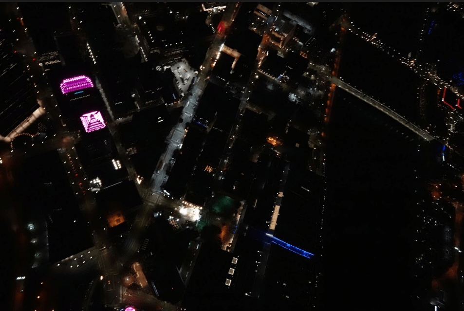
Taken by Carnegie Mellon Robotics professor Dr. Sebastian Scherer.

Taken by Carnegie Mellon Robotics professor Dr. Sebastian Scherer.

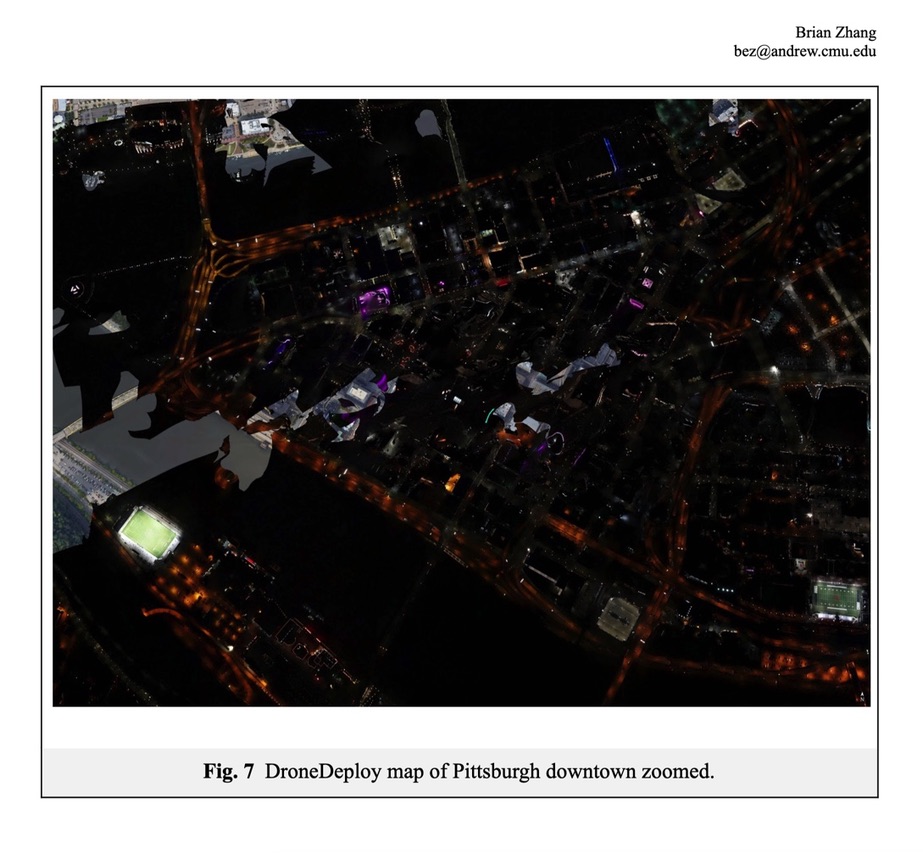
CMU student Brian Zhang combined this Cessna image of Downtown Pittsburgh.

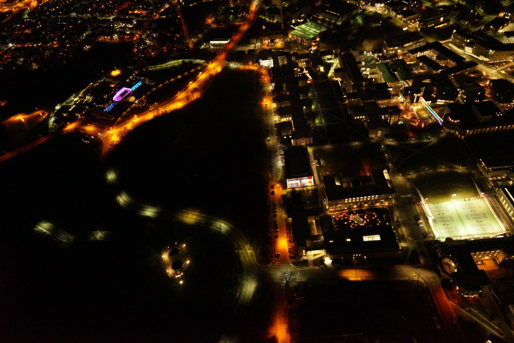
Dr. John Wenskovitch, a computer vision specialist, stitched together this set of Cessna images of Squirrel Hill using DroneDeploy.
email
Drone photography
Mike Lincoln (Director of the Pennsylvania Chapter of the International Dark Sky Association) took the drone photos from 400 feet above the terrain. He used a Mavic 2 Pro with a Hasselblad L1D-20c camera.


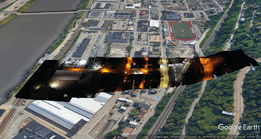
Dr. John Wenskovitch added a daytime image from Google Earth view to a drone photo of Southside in Pittsburgh taken Wednesday, October 16, 2019.
Helicopter Photography
The January 2022 helicopter flight was part of a documentary series with up to 3 million viewers in Germany, Austria, Switzerland and France.
On the helicopter, astrophotographer Alex Deise was using a Sony A7iii + Tamron 28-75 f2.8 lens. He mostly shot at 28mm but a few images were zoomed in for more detail. ~1300 images total
Diane Turnshek was using the Sony Alpha A7sII mirrorless digital camera +
Sony FE 24mm f/1.4 GM Lens
BH #SO2414GM • MFR #SEL24F14GM
~900 images total
The helicopter flew 500-600 feet above the terrain.


